Mayberry Cemetery
Carroll County, Arkansas, USA
About
-
- Cemetery ID:
Members have Contributed
Advertisement
Photos


The legal location of the cemetery was described at the time as being "the West part of the Southwest 1/4 of the Northeast 1/4 of Section 26 of Township 20, North of Range 23 West, bounded as follows: beginning at a point 27 rods and 18 links north of the center of Section 26 of Township 20 North of Range 23 West where sit a sand stone, from which a post oak 10 inches in diameter bears North 31 1/2 degrees, East 44 links, and a post oak 12 inches in diameter bears south 72 degrees, West 6 links then South 11 rods and 28 links to place of beginning."
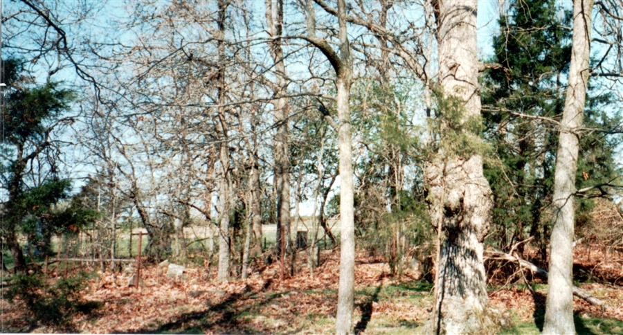
Mayberry Cemetery measured 42 feet by 69 feet and contained approximately two dozen mostly native field stone grave markers in the 1980s although there were a few tombstones that had been emgraved.
Mayberry Cemetery was named for the small community that once stood at that site which is three miles northeast of Green Forest, Arkansas. The community had been named after a Baptist minister known as Elder Oren A. Maybrey. His surname has also been found spelled as Mabrey and is spelled "Mayberry" on his tombstone in the Zion Hill Cemetery in Green Forest, Arkansas.
All that remains of the Mayberry community today is the cemetery and an old community root cellar.
In 1994, a mailbox was placed on a post near the entrance to the cemetery with the name "Mayberry" on the mailbox. Inside was a map of the location of each of the known graves in Mayberry Cemetery along with a pencil and some paper for visitors to leave notes for future visitors.
The legal location of the cemetery was described at the time as being "the West part of the Southwest 1/4 of the Northeast 1/4 of Section 26 of Township 20, North of Range 23 West, bounded as follows: beginning at a point 27 rods and 18 links north of the center of Section 26 of Township 20 North of Range 23 West where sit a sand stone, from which a post oak 10 inches in diameter bears North 31 1/2 degrees, East 44 links, and a post oak 12 inches in diameter bears south 72 degrees, West 6 links then South 11 rods and 28 links to place of beginning."
Mayberry Cemetery measured 42 feet by 69 feet and contained approximately two dozen mostly native field stone grave markers in the 1980s although there were a few tombstones that had been emgraved.
Mayberry Cemetery was named for the small community that once stood at that site which is three miles northeast of Green Forest, Arkansas. The community had been named after a Baptist minister known as Elder Oren A. Maybrey. His surname has also been found spelled as Mabrey and is spelled "Mayberry" on his tombstone in the Zion Hill Cemetery in Green Forest, Arkansas.
All that remains of the Mayberry community today is the cemetery and an old community root cellar.
In 1994, a mailbox was placed on a post near the entrance to the cemetery with the name "Mayberry" on the mailbox. Inside was a map of the location of each of the known graves in Mayberry Cemetery along with a pencil and some paper for visitors to leave notes for future visitors.
Nearby cemeteries

Carroll County, Arkansas, USA
- Total memorials81
- Percent photographed98%
- Percent with GPS11%

Green Forest, Carroll County, Arkansas, USA
- Total memorials8
- Percent photographed100%
- Percent with GPS0%

Green Forest, Carroll County, Arkansas, USA
- Total memorials1k+
- Percent photographed96%
- Percent with GPS2%

Green Forest, Carroll County, Arkansas, USA
- Total memorials122
- Percent photographed94%
- Percent with GPS0%
- Added: 20 Nov 2011
- Find a Grave Cemetery ID: 2427241

Cemetery Photos
This is a carousel with slides. Use Next and Previous buttons to navigate, or jump to a slide with the slide dots. Use Escape keyboard button or the Close button to close the carousel.


Success
Uploading...
Waiting...
Failed
This photo was not uploaded because this cemetery already has 20 photos
This photo was not uploaded because you have already uploaded 5 photos to this cemetery
This photo was not uploaded because you have already uploaded 5 photos to this cemetery
Invalid File Type
Birth and death years unknown.
1 photo picked...
2 photos picked...
Uploading 1 Photo
Uploading 2 Photos
1 Photo Uploaded
2 Photos Uploaded
Size exceeded
Too many photos have been uploaded
"Unsupported file type"
• ##count## of 0 memorials with GPS displayed. Double click on map to view more.No cemeteries found